

Mapping satellite images is a shining example of innovation in the rapidly developing field of geospatial technology, as it can be used to uncover a wealth of information hidden in the complex terrain of the planet. Researcher, legislator, and enthusiast alike now find that satellite imagery mapping is an essential tool for understanding environmental changes and assisting in urban development. In this piece, we take a flight across the heavens to investigate the exciting field of satellite imaging mapping, learning about its uses, developments, and significant influence on our comprehension of the globe.
The Dawn of Mapping Satellite Imagery:
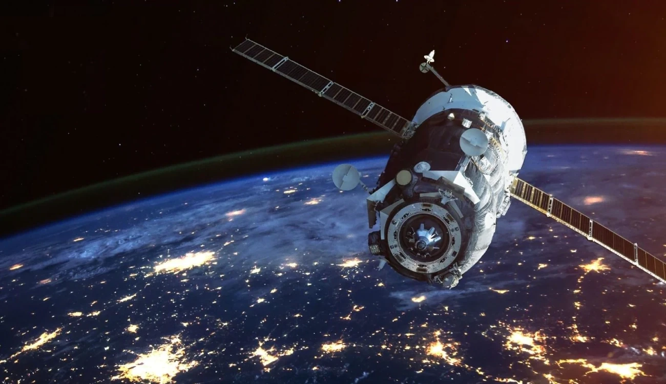
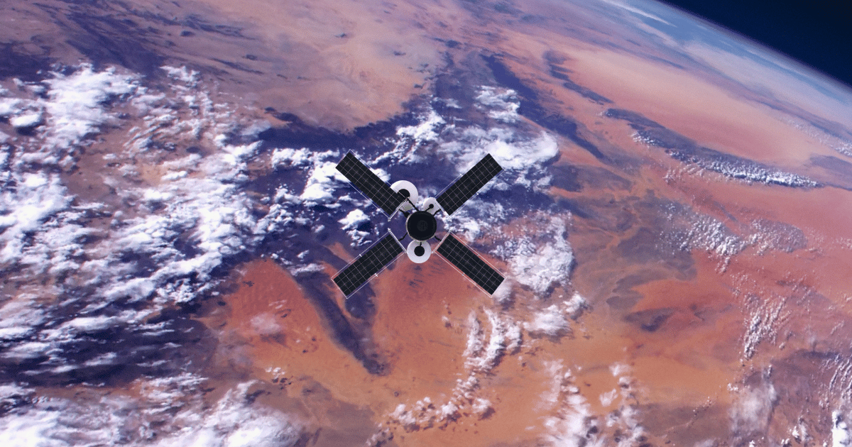
The inception of mapping satellite imagery can be traced back to the Cold War era, where the race for space supremacy spurred technological advancements in satellite technology. Initially employed for military reconnaissance, satellites equipped with imaging sensors began capturing high-resolution photographs of Earth's surface, paving the way for cartographers to create detailed maps with unprecedented accuracy.
Unveiling Earth's Mysteries:
Mapping satellite imagery serves as a powerful lens through which we can observe and analyze the dynamic nature of our planet. By capturing images across various wavelengths of light, satellites can discern subtle changes in terrain, vegetation, and atmospheric conditions over time. From monitoring deforestation in the Amazon rainforest to tracking the retreat of glaciers in the polar regions, satellite imagery provides invaluable insights into the environmental shifts shaping our world.
Precision in Planning:
Beyond environmental monitoring, mapping satellite imagery plays a pivotal role in urban planning, infrastructure development, and disaster management. By generating detailed maps of urban areas, planners can assess land use patterns, identify suitable locations for construction projects, and optimize transportation networks with precision. Moreover, during times of crisis, such as natural disasters or humanitarian emergencies, satellite imagery enables rapid assessment of affected areas, facilitating targeted relief efforts and resource allocation.
The Technological Frontier:
Advancements in satellite technology have ushered in a new era of mapping capabilities, characterized by higher resolution imagery, enhanced spectral analysis, and real-time monitoring capabilities. Modern satellites equipped with multispectral sensors can capture imagery across a broad spectrum of wavelengths, allowing for the detection of specific features such as vegetation health, soil moisture levels, and even pollution levels in water bodies. Furthermore, the integration of artificial intelligence and machine learning algorithms has revolutionized the process of image analysis, enabling automated feature extraction and classification on a massive scale.

Mapping the Future:
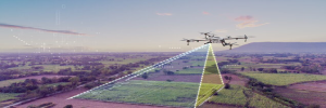
As we look ahead, the future of mapping satellite imagery holds immense promise for further innovation and discovery. From the deployment of next-generation satellites with even higher resolution imaging capabilities to the development of novel applications for emerging technologies such as drones and microsatellites, the possibilities are virtually limitless. Moreover, as concerns over climate change and environmental degradation continue to mount, satellite imagery will play an increasingly vital role in monitoring and mitigating the impacts of human activity on the planet.
The evolution of satellite technology has been nothing short of revolutionary. What began as crude images with limited resolution has blossomed into a sophisticated network of satellites capable of capturing details as small as a few inches across. These advancements have transformed industries ranging from agriculture and archaeology to defense and urban development, ushering in an era of unparalleled insight.
At the heart of high-resolution satellite imagery lies its ability to unveil hidden truths. Consider environmental monitoring, where satellite images provide scientists with a comprehensive view of changes occurring across landscapes over time. From deforestation in the Amazon to glacial retreat in the Arctic, these images serve as invaluable tools in tracking environmental shifts, enabling researchers to devise informed conservation strategies.
Similarly, in the realm of disaster management, high-resolution satellite imagery plays a pivotal role in assessing damage and coordinating response efforts. In the aftermath of natural disasters such as hurricanes, earthquakes, or wildfires, these images provide emergency responders with vital information, guiding rescue missions and facilitating the allocation of resources where they are most needed.
Urban planning is another arena where high-resolution satellite imagery shines. As cities expand and populations grow, the need for efficient infrastructure becomes increasingly pressing. Satellite images offer urban planners detailed insights into land use, population density, and infrastructure networks, guiding decisions on zoning, transportation, and resource allocation to create sustainable and resilient cities for future generations.
Beyond practical applications, high-resolution satellite imagery also fuels our innate sense of wonder and exploration. Archaeologists harness these images to uncover ancient civilizations hidden beneath the earth's surface, revealing lost cities and long-forgotten landmarks. Astronomers use satellite imagery to study celestial bodies, mapping the surfaces of distant planets and moons with unparalleled precision.
However, with great power comes great responsibility. The widespread availability of high-resolution satellite imagery raises concerns about privacy, surveillance, and ethical usage. Striking a balance between harnessing the potential of this technology for the greater good and safeguarding individual rights and freedoms remains an ongoing challenge for policymakers and society as a whole.
Looking ahead, the future of high-resolution satellite imagery holds boundless possibilities. With advancements in artificial intelligence and machine learning, satellite imagery analysis is becoming faster, more accurate, and more accessible than ever before. From predicting crop yields and monitoring wildlife habitats to tracking climate change and mitigating natural disasters, the potential applications of this technology are limited only by our imagination.
Our Satellite Imagery Services:
High-Resolution Satellite Imagery: Gain unparalleled clarity and detail with our high-resolution satellite imagery. Whether you're conducting environmental monitoring, urban planning, or infrastructure development, our imagery provides valuable insights to support your objectives.
Customized Solutions: We recognize that every project is unique. That's why we offer customized solutions to ensure that our satellite imagery meets your specific requirements. From image acquisition to processing and analysis, we tailor our services to suit your project's scope and goals.
Rapid Delivery: Time is of the essence in today's fast-paced world. With our streamlined processes and efficient delivery system, we ensure rapid access to satellite imagery, allowing you to make timely decisions and stay ahead of the competition.
Stereoscopic Imagery: Experience the depth and precision of stereoscopic imagery for enhanced analysis and visualization. Our advanced technology enables the creation of 3D models and terrain mapping for applications such as geology, land use planning, and disaster management.
Global Coverage: Whether you need imagery of remote landscapes or bustling urban centers, our extensive network of satellites ensures global coverage, enabling you to access data from virtually anywhere on the planet.
Expert Support: Our team of experienced professionals is dedicated to providing exceptional support at every stage of your project. From initial consultation to ongoing assistance, we're here to help you maximize the value of satellite imagery for your endeavors.
Applications of Satellite Imagery:
Environmental Monitoring: Monitor changes in land use, vegetation cover, and natural resources to support sustainable environmental management practices.
Urban Planning and Development: Analyze urban growth patterns, infrastructure planning, and population dynamics to inform smart city initiatives and urban development projects.
Agriculture and Precision Farming: Optimize agricultural practices, monitor crop health, and assess soil conditions for improved productivity and resource management.
Disaster Management and Emergency Response: Identify disaster risks, assess damage extent, and coordinate emergency response efforts with timely and accurate satellite imagery.
Infrastructure Management: Monitor infrastructure assets, detect anomalies, and plan maintenance activities to ensure the integrity and reliability of critical infrastructure networks.
At Satpalda, we are committed to excellence in satellite imagery services, delivering actionable insights that drive positive outcomes for our clients worldwide. Partner with us today and unlock the full potential of satellite technology for your business or organization.
For More Info:-
Ground control points
DGPS survey


Comments
0 comment